Projects
Tagged As

Aircraft Rerouting for Reduced Climate Impact (ARRCI)
With MIT AeroAstro, we are developing forecasts and decision support tools to aid air traffic controllers in avoiding the formation of persistent contrails, which are increasingly considered to have a substantial impact on climate warming.
Tags

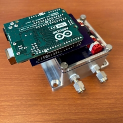
Portable Aircraft-Derived Weather Observation System
A low-cost technology can increase the number and quality of wind and temperature atmospheric observations made by aircraft to improve forecasts.
Tags
Low-Cost Methane Sensor Network
Deploying large networks of ground-based methane detectors could help detect pipeline leaks, improve climate models, and regulate emission sources.
Tags

Advanced Sensing for Hydrological Metrology
With Alabama A&M University, we are identifying opportunities to apply new remote sensing concepts to improve groundwater measurements and models. These models can inform decisions related to agriculture, land use, human health and wellness, and geopolitical stability.
Tags

Compact Optical Salinity Sensor
We are developing a compact and encapsulated optical salinity sensor to enable more distributed and persistent monitoring of the ocean’s 3D structure.
Tags
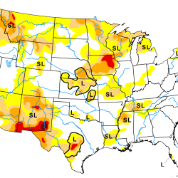
Artificial Intelligence–Based Drought Prediction
We are developing a neural network using data derived from satellite measurements of temperature and humidity to improve drought monitoring and forecasting.
Tags

TROPICS
A constellation of small satellites is collecting rapidly refreshed weather data to advance studies of hurricane structure and intensity and improve forecasts.
Tags

Fiber Sensor Array Buoy
A small, low-cost system that leverages long-length fibers embedded with electronics could provide persistent monitoring of the undersea environment.
Tags
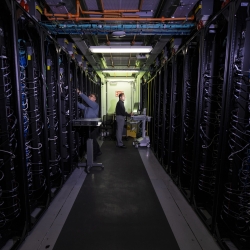
Green Instrumentation and Experimentation
We are innovating and accelerating solutions to address AI's carbon footprint and reduce data center energy usage.
Tags

Atmospheric Aerosol Characterization
We are designing a satellite-based lidar system to categorize aerosols in the atmosphere.
Tags